

The Colorado River flows through Texas. No, not that one out yonder: That's the other Colorado River. I'm talking about the one that starts near Amarillo, flows across the Edwards Plateau to Austin, and then creeps down the coastal plain to the Gulf of Mexico. Our Colorado was supposed to be the Brazos but, due to an early cartographic error by the Spaniards, a remote (and presumably hungover) mapmaker accidentally swapped the names (Colorado means "red and ruddy", which perfectly describes Brazos).
Back in November, I attended a bus tour of the lower Colorado River from Austin to the river's mouth just south of Matagorda. The tour started in Austin, stopped in Smithville, Columbus, an irrigation pumping station near Eagle Lake, the Southmost Nuclear Power Plant, and Matagorda.

Austin Water Center for Environmental Research, where Dillo Dirt is made

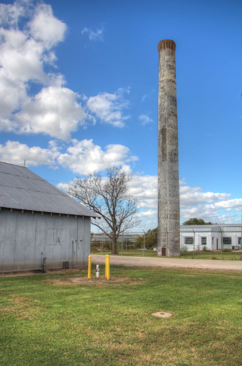
Old iron bridge near Smithville


This was originally the base to a water tower used to fight downtown fires; during the 1960s it was turned into a Confederate Museum, the town's answer to desegregation.

Irrigation pumping plant near Eagle Lake.


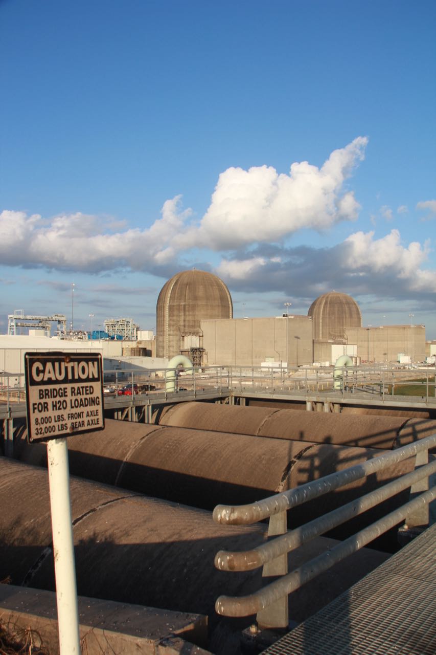
Functional Brutalism at the Southmost Nuclear Power Station.

A massive artificial cooling lake; looks like the ocean!

You don't wanna swim near the No. 2 pipe.


You don't want to swim in the ditches either!

At watch.

A public park run by LCRA near the mouth of the river.


Got up early to see the early birds.


Endangered mussels.
No comments:
Post a Comment